


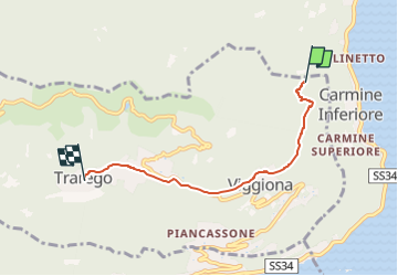
R46 Molineggi - Viggiona - Trarego

SityTrail - itinéraires balisés pédestres
Tous les sentiers balisés d’Europe GUIDE+


1h40
Difficulty : Easy

FREE GPS app for hiking
 SityTrail
IGN / Geographical institutes
SityTrail Plus
The world is yours!
About
Trail On foot of 4.1 km to be discovered at Piemont, Verbano-Cusio-Ossola, Trarego Viggiona. This trail is proposed by SityTrail - itinéraires balisés pédestres.
Description
Report maintained by path detectors CAI SOSEC Piemonte - MT
Symbol: white red flag
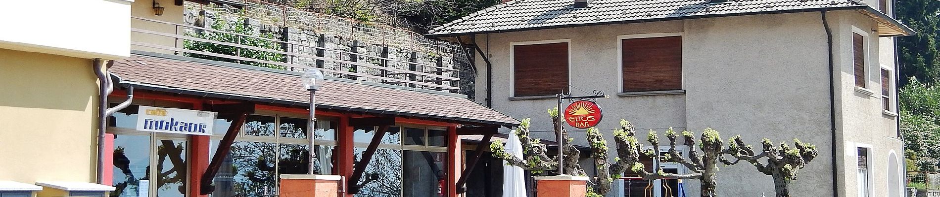
Photos


Positioning
Comments